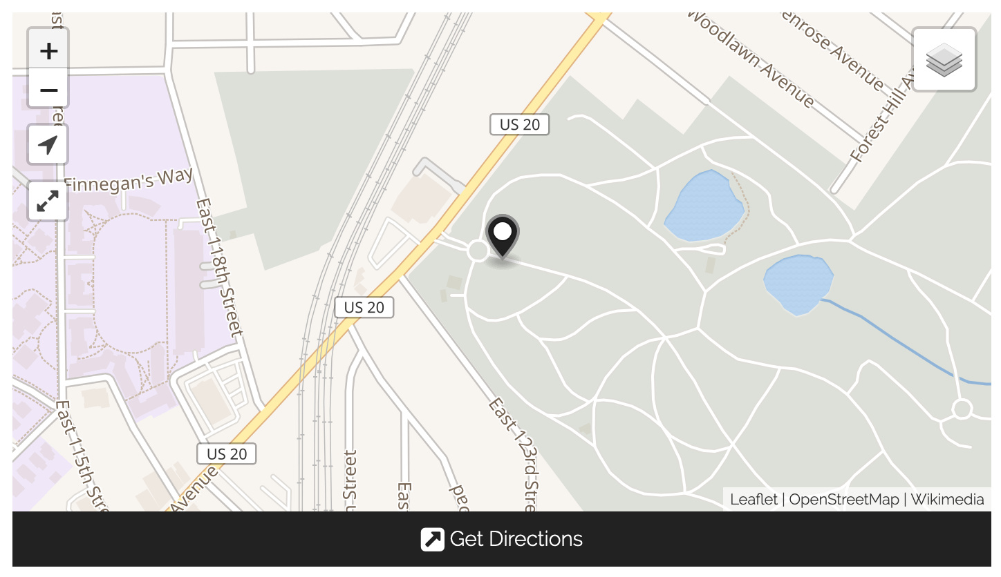
I’ve got a pair of faculty members who are interested in using Curatescape to collect data on our local cemeteries and present it as thematic tours of individual graves. I’m concerned, though, that when I zoom in as far as I can, the cemetery is still a pretty small chunk of the map, and I’m worried that the map won’t actually be useful. Is there any way I can convince the map to zoom in further? Will I need to find new basemaps with higher-resolution tiles, and how will I tell Curatescape to see them?
Has anybody tried a Curatescape project on this level of granularity?
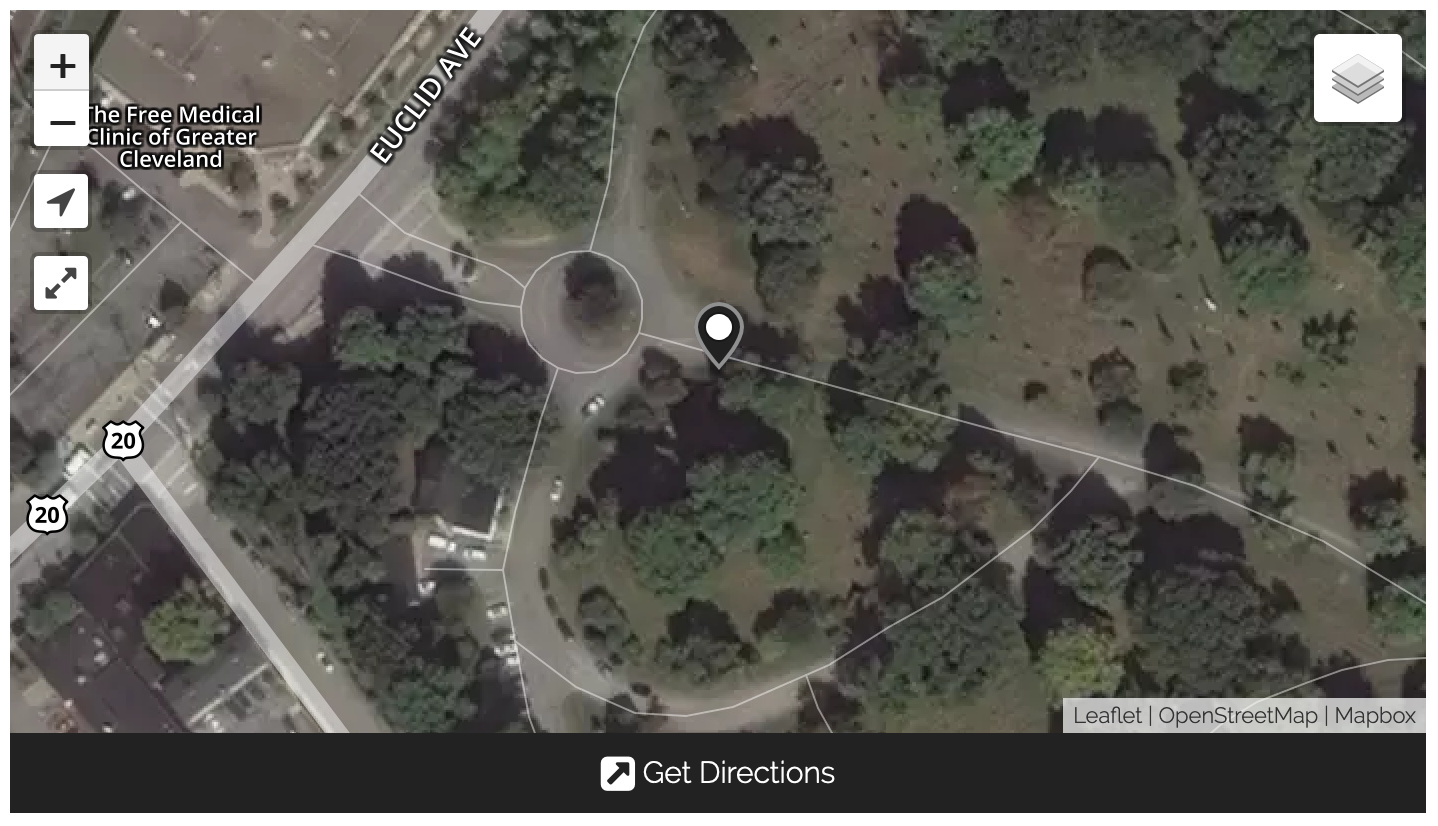
Hi @joemurphy, one option would be to use a satellite base layer for a bit more detail on the front end (this requires a Mapbox account, which you’ll need to configure in both the Curatescape theme and the Geolocation plugin). Some cemeteries are well-represented (e.g. ones that are well-known, historic, or tourist destinations will often include interior paths, roads, and sections), but others will appear as a flat block of color. This is due in part to the fact that all mapping data comes from the Open Street Maps project. If your locations of interest aren’t well-represented, you might consider contributing (or sponsoring) additions to the OSM project.
Every basemap has it’s own max-zoom level and is also subject to the standard 0-20 zoom scale, so if you wanted to map every grave in a small cemetery, it would probably be the case that they would overlap to an annoying degree no matter what you do. But in a larger cemetery with pinned graves further apart, you could probably make a useful map.